After the BEST FREE HOT BREAKFAST BUFFET EVERRRRRRR!!!!! at the Best Western Grand Hotel in Bryce Canyon City {another perk of coming off-season: reduced rates :)}, we drove east on "Scenic Byway Route 12" .
Just more awesome scenery in front and behind, taken from the cut-through.
The road wasn't paved until 1985.


Pops serenading us along the way.....


Tons of little signs like this...I love them!


The little town of Henrieville

This house had 3 chocolate labs and 2 golden retrievers in the back yard,
and 2 "watchgeese" honking in the front yard when I stopped the car...

Lots of roadside stops to view the scenery and read the history/geology markers


You are subject to what I find interesting here, ok?

Saw a ton of this shrub; haven't looked it up yet;
the leaves have a styrofoamy quality that was interesting.

sheer cliffs abounding....

Like the retaining wall along what I think is the Escalante River...


Our first "stop-and-hike" of the day: Escalante Petrified Forest State Park

This section was, I'm thinking, for the "non-hikers"....all those rocks are actually petrified wood...

Like I said, you are subject to what I find cool.....

Hiking up the trail...was about a 2-mile loop

Morning calisthenics......a must for our military members....


Love the colors!

I guess you've figured out you're gonna see a lot of Cory's and Sarah's backsides....

Cool golden lichen


The view from whence we came...

More views of this amazing petrified wood....the colors are incredible


Overlooking Wide Hollow Reservoir....naught but a puddle, but there is a boat landing.


I like the panorama setting....

Heading back down the hillside.


Playing with my camera.....


This stop overlooked a steep ravine through which the Escalante River flows..


Here are the vids of the little rock climb we took here...
Just love how clearly the layers of sediment are defined!


Further along we drove along a literal ridge---I googlemapped it and I believe it's called the Hogback.

This map tells you what you're seeing in the next photos....
 |


Sightseeing in Torrey...

...where we turned east again onto Route 24.

Entering the Capitol Reef Area

The "twin rocks" are to the left in this picture...


Driving through the Capitol Reef Area
Petroglyphs in the Fruita District the Fremont Culture

Just reminded me of "Old Man of the Mountain"...


This reminded me of Minas Tirith....over and over and over....about 15 dark outcroppings in a row!

This is where I first tried to park to get the photo, and felt the car start to sink...lol.

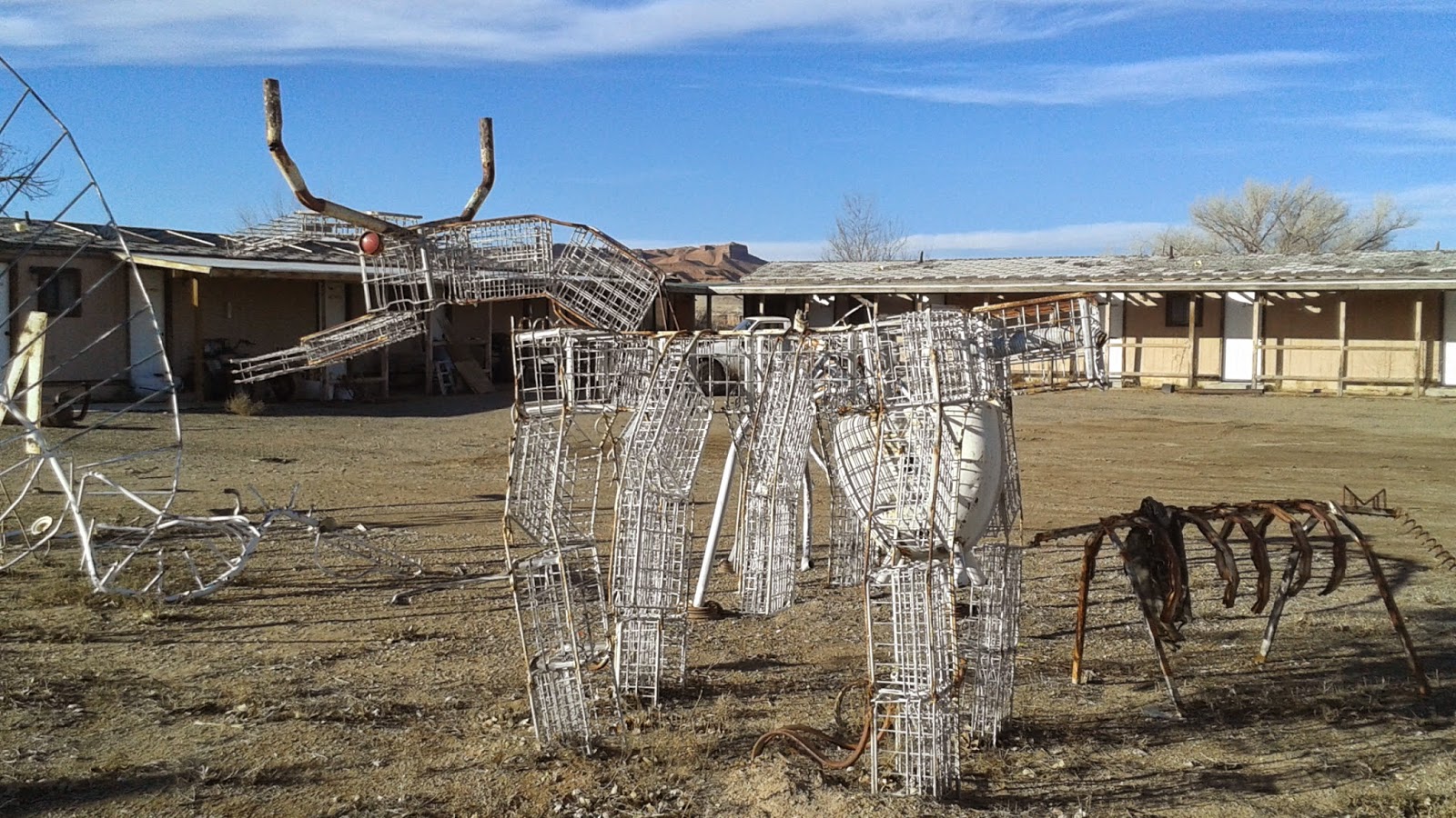
Ok, so we get to Hanksville, where we turn north to get to I-70, and I had to stop and photograph these......I really don't have words......


Heading north to I-70 on route 24...more fabulous scenery...


We encountered some local cattle on the road to Goblin Valley:
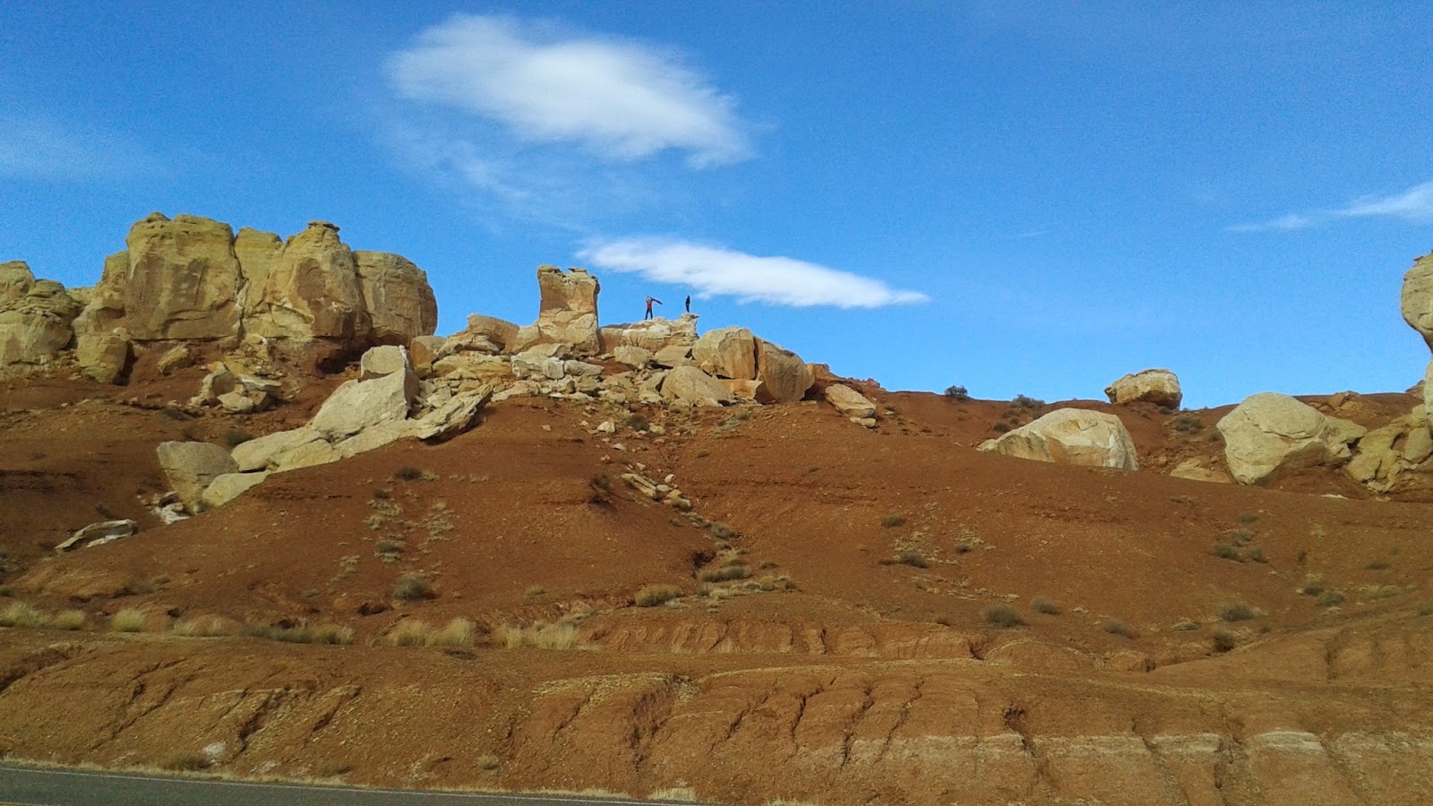
After all that silliness (did you like the soundtrack background playing???), we saw signs of alien landscape:


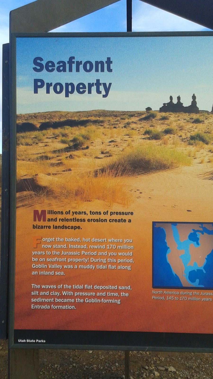

Sarah and Cory in a surreal landscape...(we found no Berrilium Spheres, dang it...)


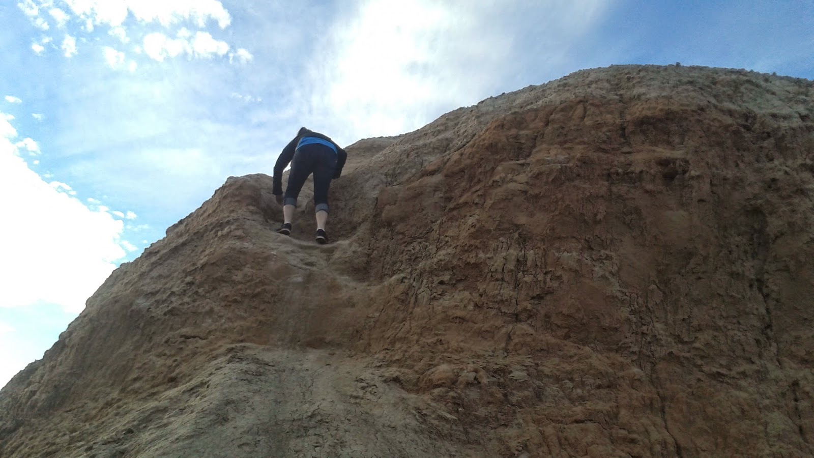
This was Jack's second trip here (came with the scouts once on a camping trip), so he was our guide....and we used our walkie talkies....twas fun.


Climbing up a big clay hill...
A really fun travelling day...we arrived in Moab around 6:30 pm. Tomorrow: Arches
#1: Jack has some very strong Johnson features in that face of his.
ReplyDelete#2: Sarah looks….thrilled.
#3: My inner nerd thinks that "the last frontier" pic should've used "final" instead of "last"
#4: The rocks and cliffs are beautiful, maybe I'll go down in the summer and check them out.
#5: Note for Pop and you on that last vid you posted. Gladiator soundtrack, right? And I couldn't stop thinking of the scene from Twister when the therapist in the back seat has to end her phone call because, "I can't talk right now, we got cows."
#6: aaaaargggg I want to go to Goblin Valley. Please say you did some Galaxy Quest Quotage! I'd be tempted to waste lots of time making a sphere and leaving it there for the hilarity of it.
Glad you guys are having a hoot of a time!